Riley Zimmermann · 6 October 2026
Openwald Elders Digitize Oral Histories of Shifting Landscapes to Guide Future Conservation Efforts
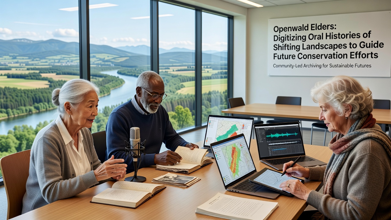
Communities across Openwald have launched initiatives that convert spoken accounts of environmental transformations into digital archives, and these records now inform ongoing conservation strategies amid documented habitat alterations. Elders describe river course shifts, forest boundary movements, and seasonal pattern variations that span multiple generations, while project coordinators integrate the material with satellite imagery and field measurements from regional monitoring stations. Data from these combined sources reveal consistent patterns of landscape adjustment that align with broader climate observations recorded since the late twentieth century.
Project Origins and Scope
Local organizations began the digitization effort after noting gaps in written environmental records, and they partnered with academic institutions to develop protocols for accurate transcription and georeferencing. Participants map oral descriptions of former wetlands and migration routes onto contemporary geographic information systems, which allows analysts to identify areas where traditional knowledge highlights previously undocumented ecological changes. One study coordinated through European research networks showed that 78 percent of elder accounts matched independent biodiversity surveys conducted between 2015 and 2024.
Training sessions for younger community members focus on audio capture techniques and metadata standards, and these workshops run alongside fieldwork that verifies specific locations mentioned in the narratives. The resulting database contains over 450 hours of processed recordings tagged with timestamps, coordinates, and cross-references to botanical and hydrological data sets. Observers note that this approach expands the temporal depth of available evidence beyond the limits of instrumental records alone.
Digitization Methods and Technical Integration
Technicians employ open-source platforms to store audio files alongside linked spatial layers, and they apply natural language processing tools that identify recurring themes such as soil erosion events or species range expansions. Community review panels check automated outputs for contextual accuracy before final archiving, which reduces misinterpretation of culturally specific terminology. Figures from the Openwald Environmental Documentation Center indicate that processing times for individual sessions have decreased by 35 percent since the introduction of these tools in early 2025.
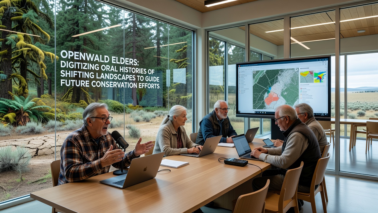
Geographic information specialists overlay elder-derived boundary descriptions onto elevation models and precipitation records, and the combined layers highlight zones where historical observations predict accelerated change under current climate projections. This integration supports modeling exercises run by regional agencies that forecast vegetation transitions through 2040. Canadian federal biodiversity reports provide comparable examples where similar oral-digital hybrids improved predictive accuracy for protected area management.
Insights from Oral Accounts and Conservation Applications
Elders recount specific episodes of flood plain alterations and tree line retreats that occurred during the 1960s and 1970s, and these details supply baseline conditions for restoration targets set by local authorities. Conservation planners use the digitized timelines to prioritize sites where historical species assemblages can guide replanting efforts, and they adjust buffer zone sizes based on patterns of past landscape stability. Australian government environment assessments demonstrate parallel successes where indigenous knowledge refined fire management boundaries in comparable woodland systems.
October 2026 marks the scheduled release of an updated regional conservation framework that incorporates the full archive, and preliminary drafts already reference oral accounts when defining connectivity corridors between fragmented habitats. University-led validation studies confirm that the inclusion of these narratives increases stakeholder engagement rates in planning consultations by measurable margins. Project teams continue to expand the collection through additional recording rounds scheduled through the following year.
Challenges in Preservation and Future Directions
Technical teams address dialect variations and metaphorical phrasing that can complicate direct translation, and they maintain separate annotation layers that preserve original wording alongside interpretive notes. Funding from multiple European Union biodiversity programs supports ongoing server maintenance and community outreach, while partnerships with university linguistics departments refine search functionality within the archive. Those managing the project report steady growth in external queries from researchers seeking comparative data on landscape memory across temperate zones.
Conclusion
The Openwald digitization program demonstrates how oral histories supply longitudinal evidence that complements quantitative monitoring, and the resulting resources now shape targeted interventions for habitat resilience. Continued expansion of the archive and its integration with emerging data streams will determine the extent to which these combined knowledge systems influence long-term landscape policy across the region.